Discover concerts, nightlife, dining, culture and events in Essing.
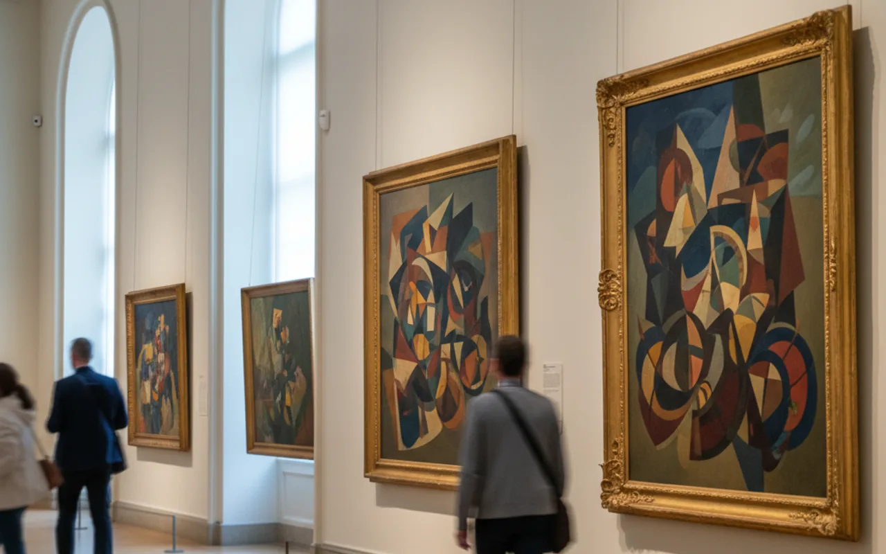
The DOLINA Society for Regional Studies presents an exhibition of town views by the copper engraver Michael Wening at the MEMU shortly before the end of the year. In his four-volume work "Historico-Topographica Descriptio" (Description of the Electorate and Duchy of Upper and Lower Bavaria), published between 1701 and 1726, around 850 town views of Bavaria at that time are depicted. For the most part - especially in the case of smaller places - these are the first printed views ever. Colored and uncolored examples of around 35 places from the Ingolstadt, Vohburg, Riedenburg, Neustadt and Kelheim area will be shown from a private collection. Both long-vanished buildings and structures that have remained almost unchanged to the present day can be seen. In addition, several maps from that period will be presented. The opening reception takes place on Saturday, 14 November at 2:00 p.m. The exhibition will then be open until 5:00 p.m. The introductory lecture will be given by Dr. Josef Schmid, former head of Donau-Gymnasium Kelheim. The musical accompaniment will be provided by Stefanie Kisker (recorder), Elke Erdl (cello) and Johannes Kammerl (piano). DOLINA and the market town of Essing are looking forward to welcoming many interested visitors.
Use the boxes to securely store your bicycle and luggage. To lock them, use your own bicycle lock.
At the parking lot of Schulerloch Cave, there is a fast-charging station for two electric cars in the rear area.
### Living in the Ice Age The settlement history of the [Altmühl Valley](https://www.herzstueck.bayern/de/urlaubsregion/altmuehltal) began about 80,000 years ago — at the beginning of the last Ice Age, the so-called Würm glaciation. Older finds from the period between 500,000 and 120,000 years ago are lacking because the Danube then still flowed through the Lower Altmühl Valley and deposits in caves were not possible. About 100,000 to 10,000 years ago, the first people lived in the caves and beneath rock shelters (so-called abris) of the Altmühl Valley. The climate at that time resembled that of a tundra. The ice-free valley was a rich hunting ground — mammoth, rhinoceros, reindeer, horse, bison and aurochs lived here. ### A cave system with history The Klausen Caves consist of several caves lying one above the other: - Lower Klause - Klausen Niche - Middle Klause - Upper Klause In the Klausen Niche, a milk incisor tooth of a Neanderthal was found. In the Middle Klause, researchers recovered a harpoon, bone points and a decorated perforated rod made of reindeer antler. A limestone slab with the image of a wild horse is considered one of the oldest works of art in the region. In 1913, archaeologists discovered the skeleton of a man about 30 years old who died around 18,000 years ago. His body had been laid in red pigment; fragments of a mammoth tusk lay beside his skull. A replica of the skeleton can be seen at [MEMU Essing](https://www.herzstueck.bayern/attraktion/memu-essing-4d57d1fab9). ### Listening point About 500 meters southeast of the Essing
Hier hält auch der Freizeitbus 6010 mit Radanhänger.
### History and furnishings of the chapel The chapel, which the locals call “Bartlmä,” is probably Romanesque in its core and was altered in the 15th and early 18th centuries. Severely damaged in the Thirty Years' War, it received a new bell in 1651, which still hangs in the little tower today. When the district judge wanted to have the chapel torn down in 1830, the farmers from the surrounding farms refused. They always shared the repair costs. Inside stands a Baroque altar with twisted columns and the wooden figure of Saint Bartholomew, created in 1707 by the Altessing woodcarver Ulrich Voraus. In 1968, the chapel was extensively renovated. Once a year, on Bartlmä Day, August 24, the community celebrates Mass here. ### The Bartlmä Lake and the white women The lake in front of the chapel is a rarity on the dry Jura plateau: it does not silt up, and even in the drought year of 1911 the water level only dropped. According to legend, there was a Benedictine convent on its shore. The white women fell away from the true faith and disappeared; their golden bell sank into the lake, and they themselves are still said to haunt the water and the chapel. Others say the lake was formed from their tears or is a gateway to an underground world. A convent is not historically documented, but farmers repeatedly ploughed masonry stones out of the fields around it. ### Can the visit be combined with a hike? The [Essing Circular Hiking Trail 2](https://www.herzstueck.bayern/poi/detail/essinger-rundwanderweg-nr.-2-0325c2e5c7) passes the chapel and connects it with two other sights in
The Essing boat landing stage is located between Altessing and Essing. The timetable is posted or available at Essing Town Hall. Tickets can be purchased on board. Free parking is available.
The grottoes and cave sections, layered one above the other like floors, formed over the course of thousands of years: water dissolved underground cavities out of the Jurassic limestone. Depending on the water level of the Altmühl-Danube at the time, cave systems that are partly connected to one another were created. Caves are low in light and have a constant temperature of about 8°C. They are a habitat with extreme but reliable conditions. They offer their inhabitants protection from rain, wind, frost, and heat. The Klausenhöhlen are also a valuable habitat for some protected animals and plants.
As early as the year 800 AD, Charlemagne attempted to create a waterway between the Main and the Danube. Thousands of workers were employed. The project failed. The greatest difficulty, overcoming the European watershed, could not be solved. Remains can still be seen in the village of Graben near Treuchtlingen. Thus, this human dream was not taken up again until King Ludwig I of Bavaria. However, the ambitious project had to overcome an even more serious technical problem: the European watershed, which separates the river systems flowing to the North Sea from those flowing into the Black Sea. From Bamberg, an ascent of 187 m had to be overcome up to the summit level between Burgthann and NeumarktSengenthal. After that, the canal drops again by 80 m to Kelheim. The water supply, which was particularly problematic on the summit level, was solved by a feeder canal barely one meter wide. 100 locks had to be built, which were supervised by 55 lock keepers. Some of the 66 canal houses - designed by Leo von Klenze - have been preserved and maintained to this day. The canal had eight harbors with harbor masters. Along the entire canal route, around 6,000 workers were simultaneously engaged in excavation work with pickaxes, spades, and shovels during the construction period between 1834 and 1846. The canal, 16 m wide and, at 1.5 m, exceptionally deep for the time, was abandoned in 1950. It had been severely damaged during the Second World War. Because repair was considered too costly, and the economic importance of shipping had long since been surpassed by the railway, Germany's th
More than 1000 skeletal remains of Ice Age animals and stone tools of Neanderthals and Ice Age hunters were discovered in small rock caves behind the "Felsenhäusl" guesthouse - presumably once dens of predators and hunting camps. The exhibition of these finds shows bone remains of more than 30 animal species such as mammoth, rhinoceros and giant deer as well as 60,000 and 25,000 year old stone tools.
During the canal construction work, the existing crossing to the southern side of the valley was interrupted - a replacement crossing had to be built. For Rhein-Main-Donau AG as the client, this posed a major challenge, as the aim was to create a bridge that would blend well into the unique landscape of the Altmühl Valley despite its length of almost 200 meters. The client, the authorities and the municipality ultimately decided in favor of the unusual bridge design by architect J. Dietrich. This innovative bridge structure is characterized by exceptional lightness and a sweeping line. After seven years of planning and development work, and with the help of engineering science and modern timber construction technology, the unusual bridge structure could be realized. Suspension bridges have a tradition in this landscape. In Roman times, a large cable suspension bridge spanned the Danube Gorge near Weltenburg. However, unlike such a completely flexible structure, the relatively rigid wooden load-bearing structure of the Essing Bridge must be secured against fracture loads caused by vibrations. Here, above all, the excitation of vibrations from lateral wind must be controlled. The structure that was ultimately built was optimized in wind tunnel tests using a model. Derived from the ancient principle of the freely suspended cable bridge, a tension band made of 9 glued laminated timber beams spans over three pier frames to the bridgeheads. Through this tension band, which follows a cable tension line, 90% of the bridge loads are carried in the form of tensile forces. This res
Along the Restaltmühl in Essing, an art trail titled "Art on Rock and River" has been created, which explores the history of Essing and its unique landscape. Hidden cultural treasures have been reconstructed in artistic form and made accessible in an alternative way. The uniqueness of the setting in Essing is also incorporated. This opens up a new way for viewers to engage with its culture and cultural heritage and to identify more strongly with the cultural history of their own homeland. The art trail consists of three components: 1. Trigrams and cult site by Werner Engelmann 2. Themed benches by Willi Hengge 3. Changing sculptures Opening hours: freely accessible Admission: free Brochure: leaflet available
### The Bruckturm – medieval gate to the market square The Bruckturm is a late medieval gate tower with Gothic features that originally secured access to the market town of [Essing](https://www.herzstueck.bayern/de/urlaubsregion/stadtgeschichten/stadtgeschichten-essing) as a defensive tower and gate structure. To this day, it still has its characteristic shingled tent roof. The passage through the tower is round-arched on the Altmühl side and pointed-arched on the market side – a rare architectural detail. At the base stone by the exit, there is the only public flood marker from 1784. ### The Bruck – a wooden bridge since the town’s founding The adjoining wooden bridge – known colloquially simply as “the Bruck” – has been in use since the town’s founding and has preserved its traditional construction to this day. It rests on three spans (two water spans and one land span) and connects the market square with the farms to the south. At the end of the bridge, the monument to the Bavarian infantryman Josef Deifl commemorates the fallen of the First World War. ### Photo motif and starting point for further experiences The ensemble of tower, bridge, and the imposing rock backdrop – on which [Randeck Castle Ruins](https://www.herzstueck.bayern/attraktion/burgruine-randeck-9448fb1930) stands – is now one of the most popular motifs in the Altmühl Valley Nature Park. The barrier-free [Art Trail on Rock and River](https://www.herzstueck.bayern/poi/detail/kunstweg-an-fels-und-fluss-8f64f27193) along the Altmühl branch continues directly from there and offers further v
Discover Essing in the heart of the Altmühl Valley Nature Park! The tourist information office offers tips for excursions, hiking and cycling tours, sights such as Randeck Castle, the wooden bridge “Tatzelwurm” or the Schulerloch stalactite cave, as well as information on accommodation and dining. This will make your stay an unforgettable experience.
Hier hält auch der Freizeitbus 6010 mit Radanhänger.
Discover 16 leisure activities, outdoor spots, sports, museums, and workshops in Essing for today or this weekend. Current highlights include Exhibition of Historical Town Views, Schulerloch Bicycle Boxes, Electric car charging station at the parking lot of Schulerloch Cave.
Explore 16 leisure activities across outdoors, sports, exhibitions, workshops, and cinema in Essing, such as Exhibition of Historical Town Views, Schulerloch Bicycle Boxes, Electric car charging station at the parking lot of Schulerloch Cave.
Open our places and attractions guide at /en/cities/Essing/poi for opening hours and addresses.
Yes, visit /en/cities/Essing/kinder for curated kid-friendly outings and family workshops.